
Jefferson County Neighbors Records
Jefferson County has no single block directory that names every person. A street can cross Arvada, Lakewood, Golden, Wheat Ridge, another city, or unincorporated land. Roads, alleys, open space, multi-parcel ownership, and unaddressed features make a simple radius misleading. Start with a normalized address and choose the source that answers the question.
| Source | What It Shows About a Block | Access |
|---|---|---|
| ASPIN parcel layer | Adjacent polygons, parcel IDs, assessor links, and a printable map | Free map; selection geometry is not a survey |
| jMap | Streets, addresses, zoning, permits, taxes, development applications, and HOA notification overlay | Free map; layer dates and jurisdiction vary |
| Master Address layer | Recognized address, street, city, postal data, and address geometry | County query and GeoJSON services; not an occupancy roll |
| Assessor parcel card | One parcel's owner label, mailing and situs values, class, value, sales, and history | Free portal; counter and phone fallback |
| County permit portal | Address-keyed permit activity and any public result fields | Public search; older plans may require CORA |
| Monthly voter file | Dated registration fields by residence, mailing address, precinct, and name when released | Request-controlled; confidential voters excluded |
| Arvada Neighborhood Leader Network | Enrolled neighborhood names, volunteer leaders, and a map | Public civic contact; not a resident roster |
| City, HOA, and metro-district sources | Boundary, board, meeting, and notification information | Contact the named entity; no countywide private-association index |
| Local newspapers and archives | Block meetings, road names, notices, former residents, and events | JCPL, DPL, CHNC, museums, and Archives; cite the edition |
The table separates geography from people. ASPIN and jMap show touching parcels, the assessor shows owner and mailing fields, permits show address events, and a civic network offers contact. None proves that a named person is inside a home at the moment of search.
Save the displayed address, parcel ID or PIN, map layer, and record date. Those details help when a city boundary, postal label, or ownership record points elsewhere.
Map Jefferson County Neighbors
The adjacent-parcel method moves from one address to nearby parcels through county spatial evidence rather than an arbitrary circle. Normalize the address in Master Address or jMap, select the subject polygon in ASPIN, and read the parcels that physically touch it. The city layer helps separate a municipal route from an unincorporated county route.
- Enter the number, directional, street name, type, and unit in jMap or the county address layer.
- Select the subject parcel in ASPIN and save its parcel ID, schedule number, address, and jurisdiction.
- Click touching polygons for the intended block or side, saving each parcel ID and address.
- Run each parcel through the assessor and compare situs, mailing, owner, and class fields.
- Stop at the chosen block; use the recorder, permit portal, or civic contact for its own question.
The flow is exact address, normalized point, subject polygon, adjacent parcel IDs, assessor cards, then a jurisdiction-specific request. A whole street needs the Jefferson County street address directory; this method stays focused on adjacency.
The Jefferson County municipal-boundary GIS service is useful for seeing how a city layer relates to a parcel map. It supplies jurisdiction context, not a list of neighbors.
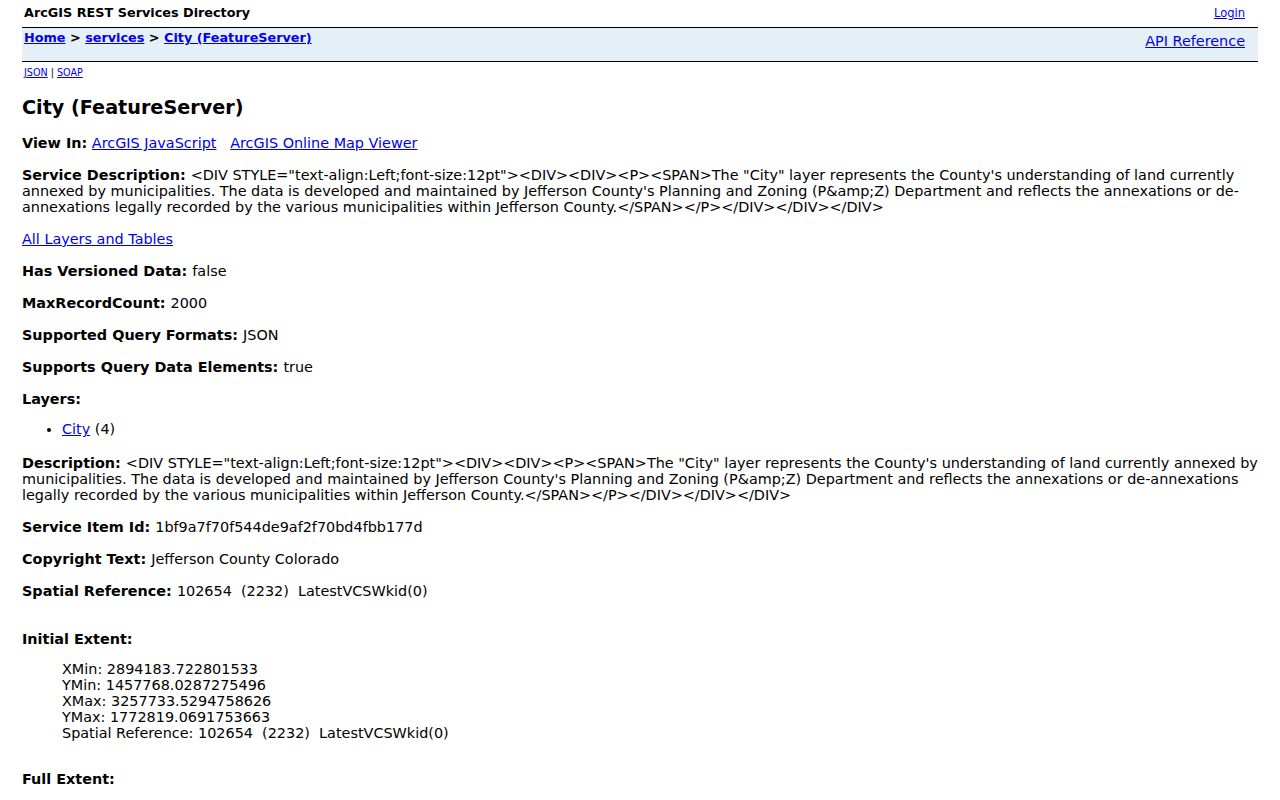
The boundary image is a reminder to verify the responsible city or county custodian before sending a request about an address.
Jefferson County GIS Layers
jMap search modes include street address number, parcel ID, street name, and reception number. Layers cover property, zoning, the Comprehensive Master Plan, permits, taxes, and nearby development applications. The gallery also points to ASPIN, Planning and Zoning, Transportation, and Parks and Open Space views.
ASPIN supports parcel selection, map printing, Parcel ID and Schedule Number queries, static maps, and an assessor link. The City FeatureServer reflects recorded annexations and de-annexations, but a boundary is not a title opinion. The county HOA MapServer identifies a planning-notification area, not membership or occupants.
Postal city and legal jurisdiction can diverge. Confirm municipal status in the map, then use the city's clerk, police, building, or CORA route when the record belongs there.
Jefferson County Parcel Neighbors
The assessor portal follows the map. Its address mode uses number, pre-directional, street name, street type, unit, city, and postal code. Owner, PIN or schedule, AIN or parcel ID, document number, sales, subdivision, neighborhood, tax district, and tax authority are separate modes. Results can show property address, city, postal code, PIN, AIN, owner, class, and mailing address.
- Situs or property address
- The physical parcel location, used for mapping, permits, zoning, and adjacency.
- Mailing address
- The tax or assessment correspondence address, which may be a different city or ZIP.
- Owner label
- The assessment account's public owner field, not proof of occupancy.
- Legal description
- Subdivision, lot, block, or metes-and-bounds text that bridges older deeds.
Compare fields rather than treating them as one answer about where a person lives. The assessor calls the data public information without warranty. A mailing change can occur while the situs stays fixed, and a deed, mortgage, lien, plat, or release records an instrument event rather than live occupancy.
The assessor counter is 100 Jefferson County Parkway, Suite 2500, Golden. Call 303-271-8600 or real-estate information at 303-271-8666. Give staff an address, PIN, AIN, or document number instead of a broad block request.
Jefferson County Voter Records
Voter information answers a different question from parcel mapping. The monthly file can include residence and mailing address, name, precinct, party, birth year, gender, phone if provided, status, and history for permitted fields. Confidential voters are excluded. The daily ballot file is election-bound, and historical material requires a custodian request. A public voter record is dated registration evidence, not proof that every household member is present.
Privacy and file design limit block visibility. Election materials can be embargoed around an election, certification, or recount. Do not publish a full street file simply because a field can be requested; keep the address, precinct, date, and scope tied to a lawful civic or family-history purpose.
Do not ask staff to confirm a confidential address by phone, email, or fax. Use current county elections instructions and treat a protected record as protected even when a map shows a nearby public parcel.
Note: A voter-file match can date a registration record, but it cannot turn a Jefferson County map into a complete list of current neighbors.
Arvada Neighborhood Contacts
Community programs can identify who organizes a neighborhood without exposing a household roster. Arvada's Neighborhood Leader Network and Neighbors Connected use enrollment, quarterly leader collaboration, and a searchable leader directory or map. The directory includes groups such as Allendale, Alta Vista, Historic Olde Town, Lake Arbor, Pomona, Ralston Estates, Sierra Vista, and Woodhaven. These are contact leads, not proof that a leader or participant lives at a particular address.
| Arvada Neighborhood Leader Network | Searchable neighborhood and volunteer-leader contacts through the city directory; use for a civic introduction, not occupant identification. |
|---|---|
| Neighbors Connected | Quarterly leader collaboration and neighborhood enrollment; participation is a community route, not a public household roll. |
| HOA notification area | Jeffco jMap polygon used for planning notices; it is not membership, dues, or resident data. |
| City, HOA, or metro district | Board contacts, meeting records, and public notices vary by entity; verify the boundary before contacting an office. |
Lakewood, Golden, Wheat Ridge, Edgewater, and unincorporated communities have their own civic routes. No single current countywide association directory surfaced. Use public meetings, city engagement pages, association contacts, and recorded maps instead of an inferred list from nearby parcels.
Jefferson County HOA Boundaries
An HOA or civic polygon can show where a planning notice or community program applies. It cannot show dues, meeting attendance, or who lives in each unit. Lakewood's City Clerk ArcGIS service carries corporate and mailing fields plus license categories for a city-regulated business record. A licensee or mailing contact is not automatically a household resident.
The Lakewood City Clerk license layer shows why category and jurisdiction matter. It is an official GIS service for a civic license record. Use the city's clerk or public-records route for the document and do not infer a private address from a business field.
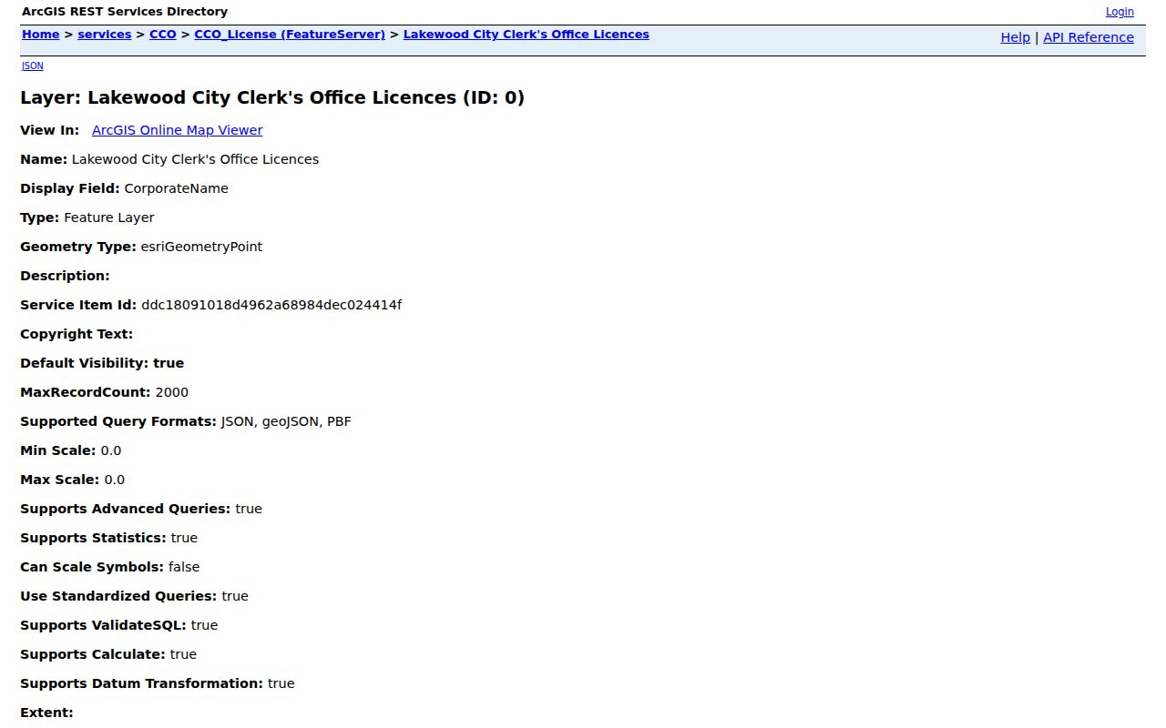
The Lakewood layer can add a municipal clue to a block search, while the parcel map and assessor remain the sources for physical geography and assessment fields.
Note: An HOA or license boundary describes governance or regulation, not the identity of every person within that boundary.
Official Neighbors and Tools
Official records and commercial neighbor tools serve different purposes. County maps, assessor cards, voter files, permits, and civic directories identify a custodian, field meaning, and date. A commercial tool may combine public copies, but its update schedule, source trail, correction process, and privacy route can be less clear. Neither category is a complete household census.
| Category | Strength | Limit | Best use |
|---|---|---|---|
| Jefferson County GIS and assessor | Custodian, parcel geometry, situs and mailing fields, map layers | Owner is not necessarily occupant; map is not a survey | Understand parcels and jurisdiction |
| County voter or permit record | Dated administrative fields tied to an address | Request, privacy, election, and redaction limits apply | Confirm a narrow civic event |
| Neighborhood or civic directory | Opt-in contacts, group names, meetings, and public boundaries | Not a complete membership or household list | Reach a community program safely |
| Commercial neighbor tool | May place public-data copies in one view | Source dates, accuracy, correction, and opt-out handling vary | Use only as a lead, then return to the custodian |
Insider tip: save the official parcel ID, record date, map layer, and custodian before relying on a name or address clue. That citation trail helps correct a mismatch.
Jefferson County Neighbor Privacy
Privacy limits every block lookup. The Colorado Privacy Act, C.R.S. §§6-1-1301 et seq., gives covered consumers access, correction, deletion, portability, and certain opt-out rights. It does not erase a deed or override voter, court, vital-record, or map rules. The custodian decides release and redaction.
Colorado's Address Confidentiality Program serves survivors of stalking, sexual assault, and domestic violence with a legal substitute address and mail forwarding. It has no public walk-in access. The state lists 303-866-2208 and 1-888-341-0002 for the program. A separate confidential-voter request can keep eligible fields out of ordinary online tools and data requests; staff will not confirm a protected address by phone, email, or fax. Do not try to reconstruct a protected address from adjacent parcels.
Use every access channel that fits the record, but keep the request narrow. Online routes include ASPIN, jMap, Master Address, the assessor, the county permit portal, and recorder indexes. In-person options include the Assessor counter, the Clerk and Recorder at 100 Jefferson County Parkway, the free title-research or map area, and County Archives appointments at 3500 Illinois Street, Suite 2350, Golden, Monday through Thursday, 7:30 to 4. Phone routes include assessor 303-271-8600, real-estate information 303-271-8666, GIS 303-271-8887, recording 303-271-8121, and Building Safety 303-271-8260.
For a missing municipal record, name the city and send a written CORA request to its custodian. JCPL databases and microfilm, DPL, County Archives, museums, local newspapers, and State Archives can fill historical gaps. Repeated contact, monitoring, threats, or intimidation can become stalking or harassment under C.R.S. §18-3-602 and §18-9-111.
Lawful use. Jefferson County neighbor records are for personal, lawful research, civic contact, family history, and ordinary safety awareness. Do not use a map, name, phone field, voter record, or civic directory to watch, harass, threaten, or intimidate anyone.